
Why Aerial Photography Works
In a fast-moving property market, visuals matter more than ever. Aerial photography provides a powerful, professional edge. It allows buyers, developers and investors to instantly understand a property’s layout, location and surroundings — all from a single elevated viewpoint.
Whether you’re listing a large residential plot, a development site or a commercial unit, drone photography helps your property stand out. It captures attention and communicates value with clarity.
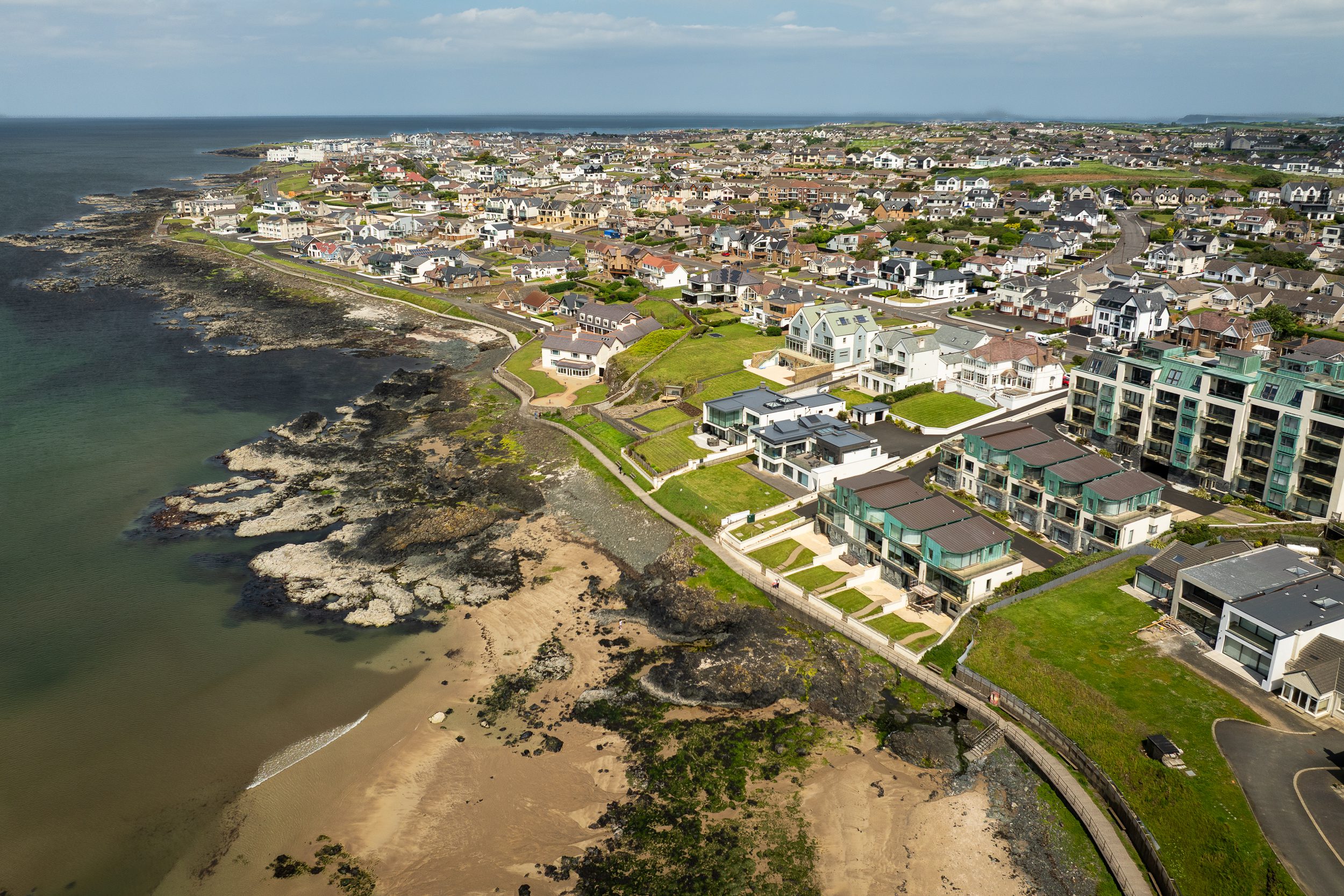
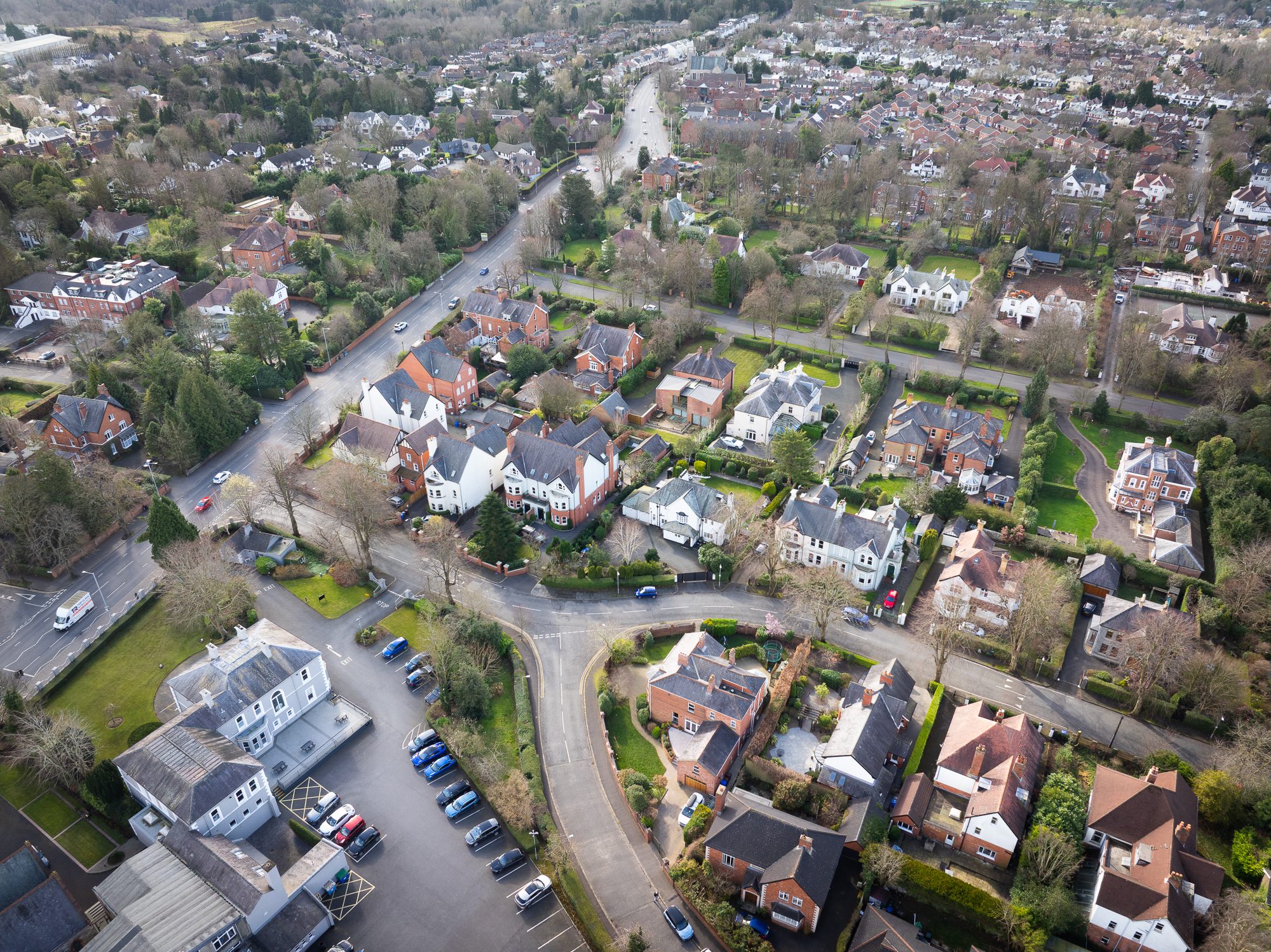
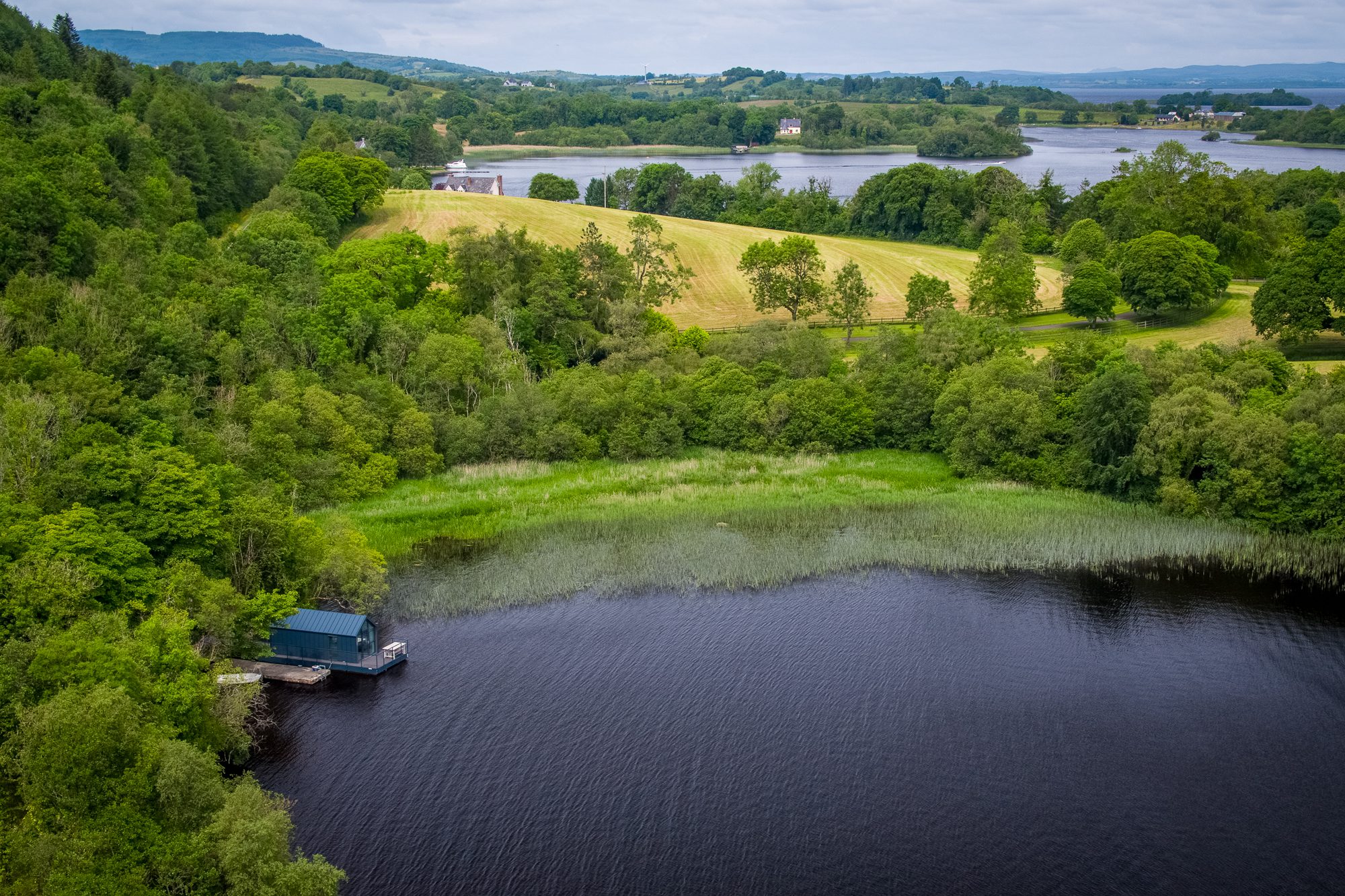
From the sky, you can show much more than the building itself. Aerial images reveal the true scale and setting of a site. They give context — the way a property connects to roads, other buildings, green spaces or coastlines. This matters because people don’t just buy buildings — they buy position, access, lifestyle and potential.
When done professionally, drone photography builds trust. It says: “We’re showing you everything.” That sense of transparency can speed up decision-making and bring in more serious interest.


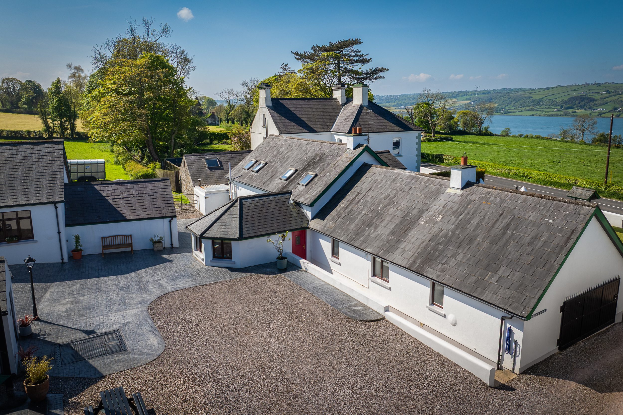


Expert Drone Photography by VIEW
At VIEW, we specialise in aerial property photography across Northern Ireland. We work with estate agents, developers and commercial landlords to create high-quality drone images and video that enhance marketing and boost engagement.
We have extensive experience in both real estate and architectural photography, which means we know how to frame each site with purpose. We consider more than just the height — we look at angles, light and what you need to show. Is it the view? The access? The full scale of the land? We capture what matters.
Clear, Consistent, Professional Visuals
Every aerial shoot is carefully planned. We carry out pre-flight assessments, check site access and confirm the best time of day for lighting. During the flight, we gather a range of shots — wide angles, closer perspectives, and site-specific details.
Then, back in the studio, each image is professionally edited to match your marketing style. Colours are balanced, images are sharpened, and everything is aligned with your brand or listing.
The result? Visuals that are ready to use, whether you’re building a sales brochure, populating a portal listing or posting on social media.
What You Can Show with Drone Imagery
Aerial photography lets you present key features that are hard to capture from ground level:
-
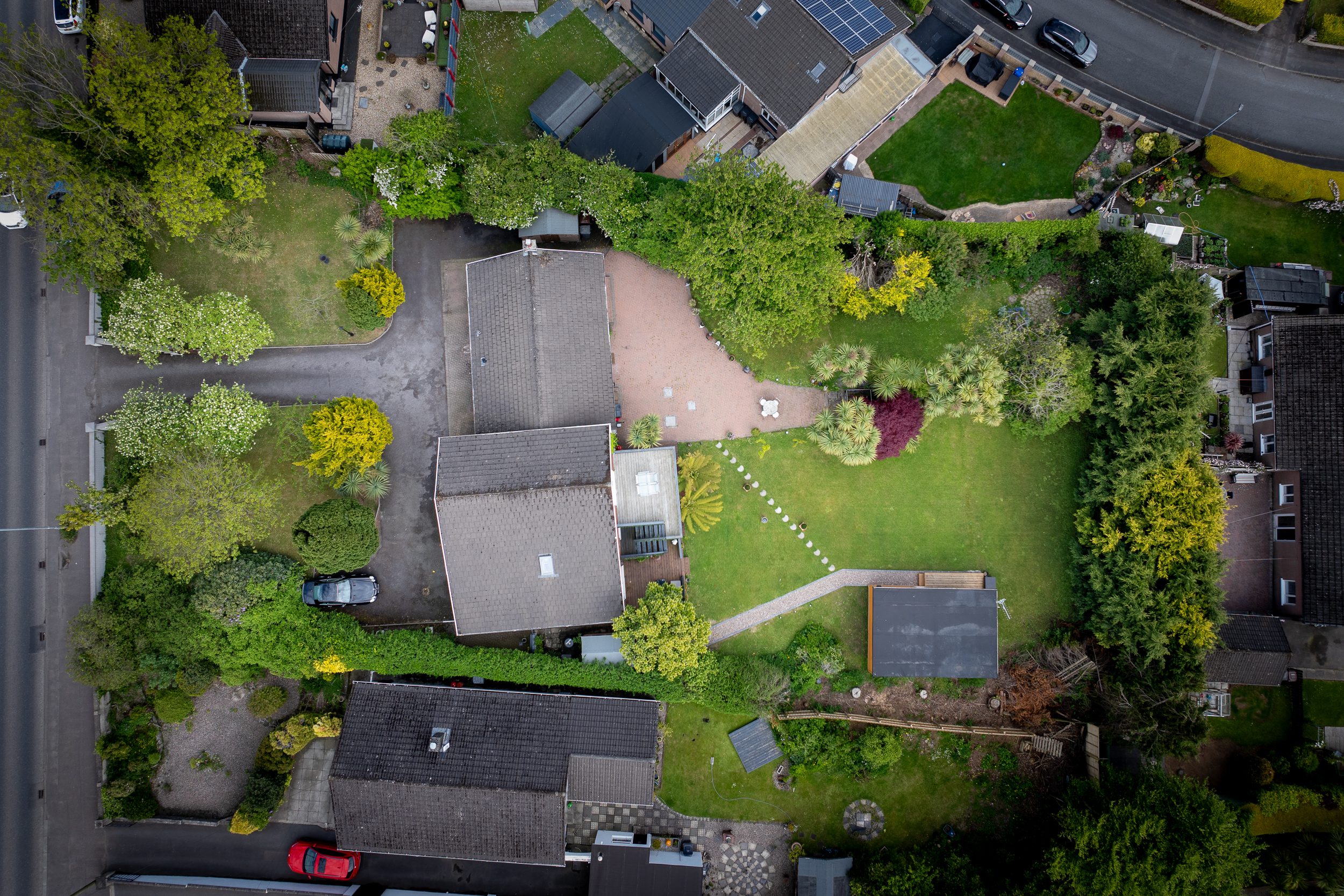
Full land boundaries
-
Access roads and surrounding infrastructure
-
Nearby landmarks, parks or coastlines
-
Development potential and building footprints
-
Natural light, site slope or orientation
For large plots, undeveloped sites or commercial spaces, this type of visibility is a game-changer.
Ideal For…
-
Residential listings with land, views or unusual layouts
-
Commercial spaces such as warehouses, retail parks or office blocks
-
New developments and off-plan property sales
-
Planning visuals for councils or investors
-
Marketing campaigns for large estates or unique locations
We tailor each shoot to your needs. Whether it’s one strong hero image or a full set of visuals, we deliver content that supports your goals.
Working Across Northern Ireland
We work with clients all over Northern Ireland. We’re familiar with the planning and marketing needs of local developers, estate agents and property managers.
No matter where your site is, we can assess it and confirm a shoot plan — often within a few days.
Safe, Licensed and Insured
All our drone operations are carried out under UK Civil Aviation Authority (CAA) guidelines. We’re fully licensed and insured, and we carry out a site safety check before each flight. This gives you peace of mind that everything is above board — and that we’re flying responsibly.
Combine with Photography or Video
Many of our clients choose to combine drone footage with ground-level photography or interior video tours. This allows you to present a complete view of the property — from inside, outside and above — in one consistent visual style.
This is particularly effective for listings on property portals or agent websites, where first impressions are key.
From Listings to Investor Packs
Our drone content is used in a wide range of marketing materials:
-
Property listings and websites
-
Printed brochures and signage
-
Investor presentations and funding decks
-
Social media marketing
-
Online video campaigns
-
Planning documents and reports
Wherever your visuals are headed, we make sure they’re high-resolution, on-brand and formatted for easy use.
Why Work with VIEW?
We don’t just operate drones — we understand property. Our goal is to help you attract interest, build confidence and show your site at its absolute best. We bring:
-
A strong eye for composition
-
Technical expertise in real estate media
-
Fast, flexible turnaround times
-
Experience across residential and commercial sectors
If you want drone imagery that actually works — not just looks nice — we’re ready to help.