Precision, Access and Clarity from Above
Modern property and site management requires more than just traditional methods. Whether you’re planning a project, inspecting assets or managing infrastructure, having a clear and accurate view from above is essential. That’s where aerial surveying comes in.
At VIEW, we use advanced aerial drone surveying technology to capture high-resolution aerial imagery that supports property assessments, construction planning, inspections and site management across Northern Ireland. Our drone surveying services deliver sharp, consistent visuals with speed, safety and accuracy — helping you make better decisions, faster.
See More. Access More. Do More.
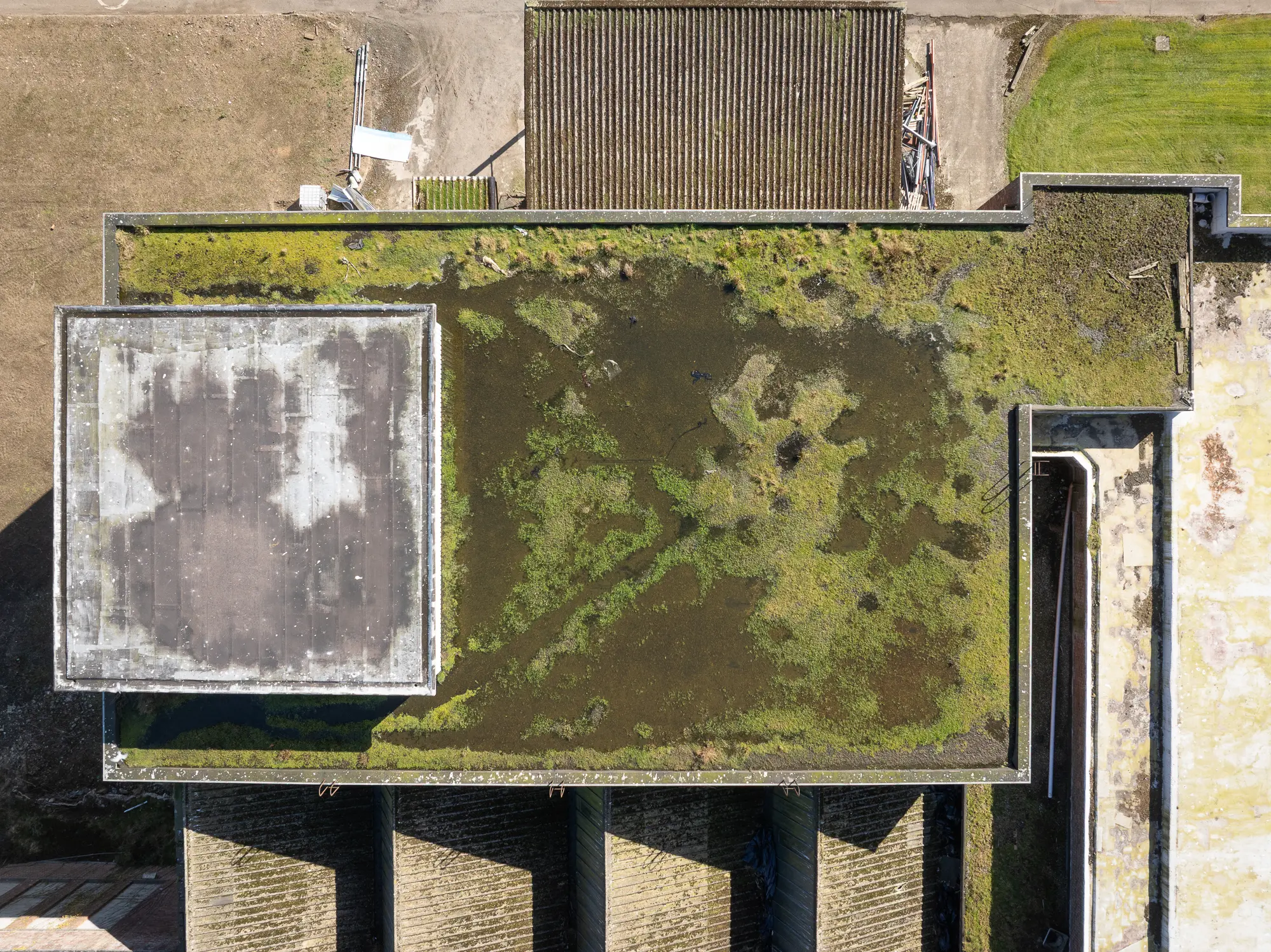
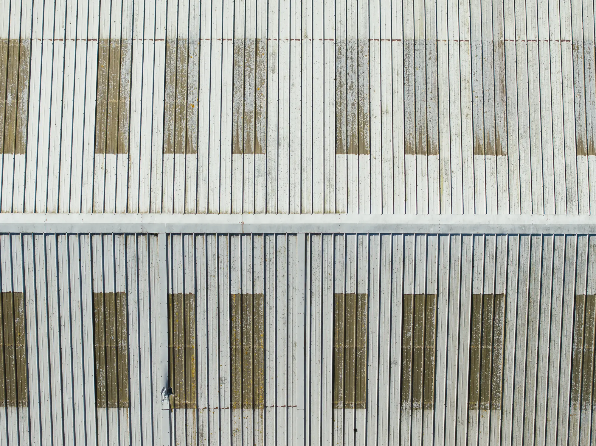
Aerial surveying is the smart way to assess what’s happening on the ground without needing boots on-site. With our drone systems, we capture critical information in less time and with less disruption. You get a full picture of your site or asset — from rooftops to pipelines — without needing to climb, lift or shut anything down.
From rural development land to city rooftops and coastal infrastructure, we help you see more, access more and do more with clean, clear aerial data.


Applications of Aerial Surveying
We work with a wide range of professionals who rely on drone imagery to improve planning, documentation and maintenance. Our clients include:
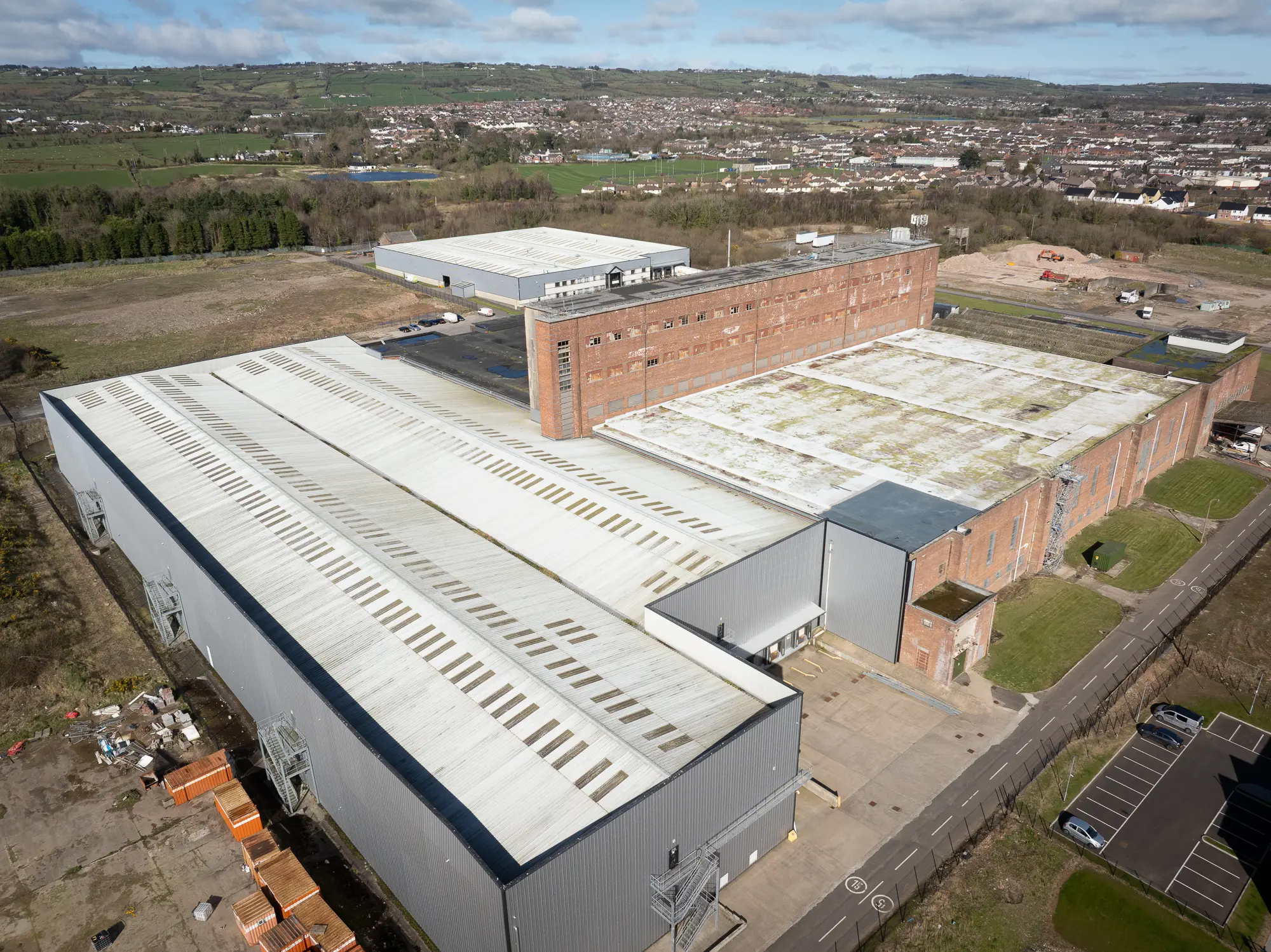
Construction companies monitoring site progress and verifying structures
Property developers needing accurate land and layout imagery
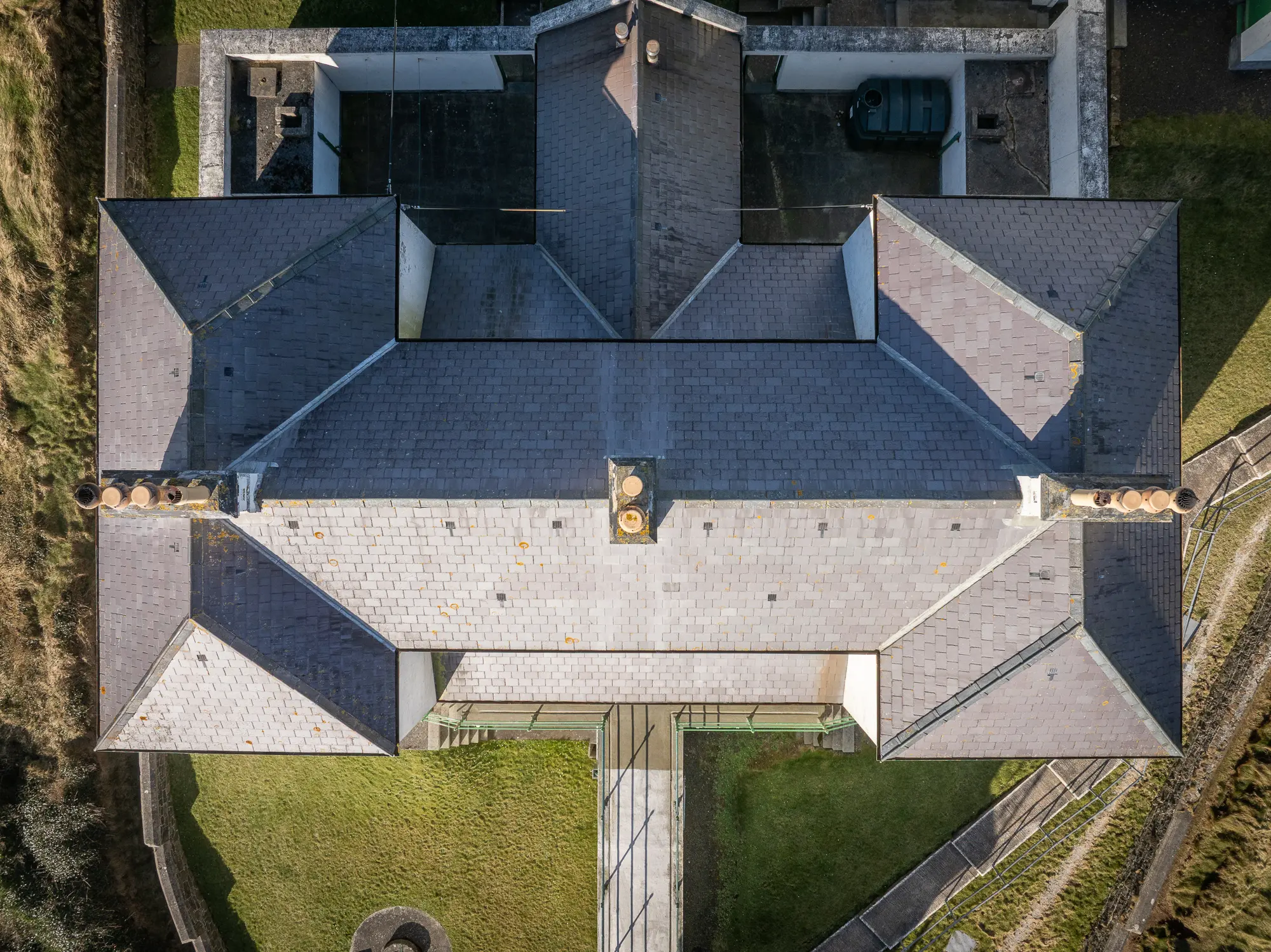
Engineers and surveyors assessing structural integrity
Facility and asset managers overseeing maintenance and repairs
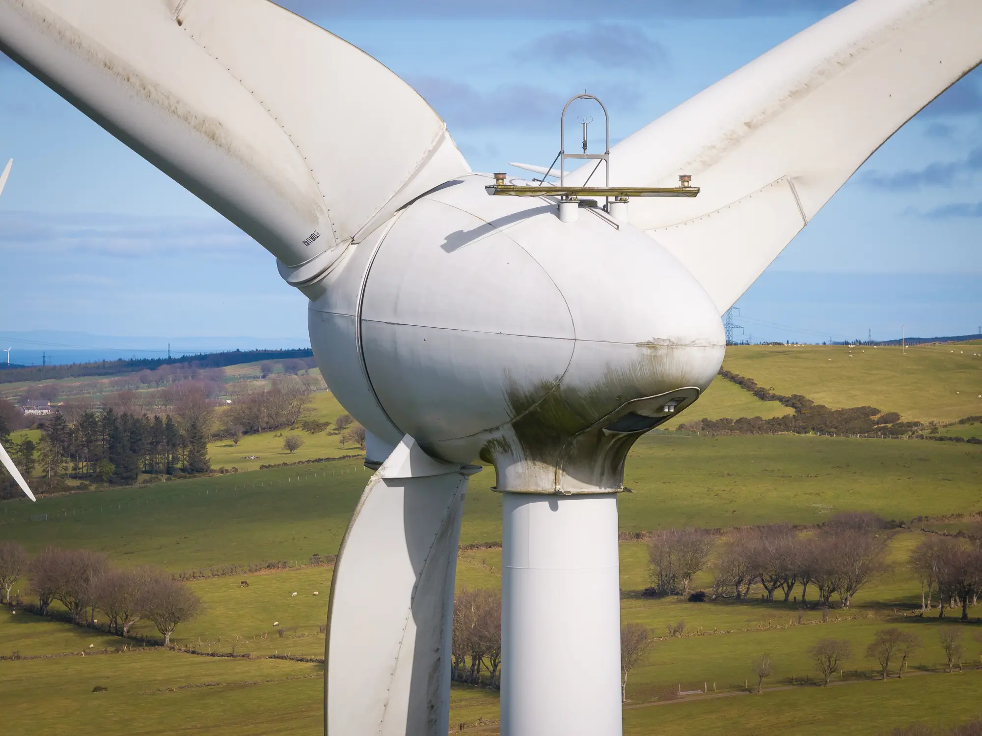
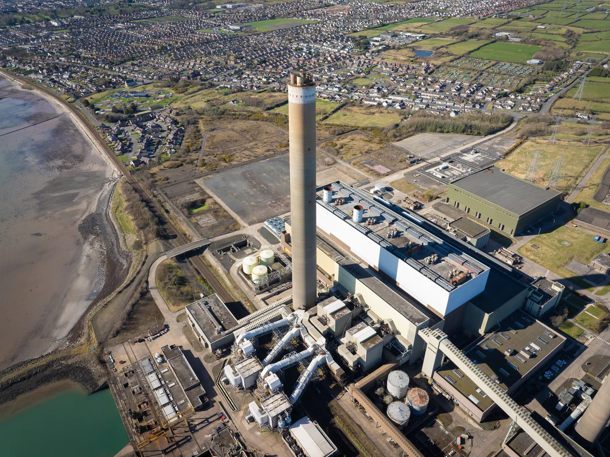
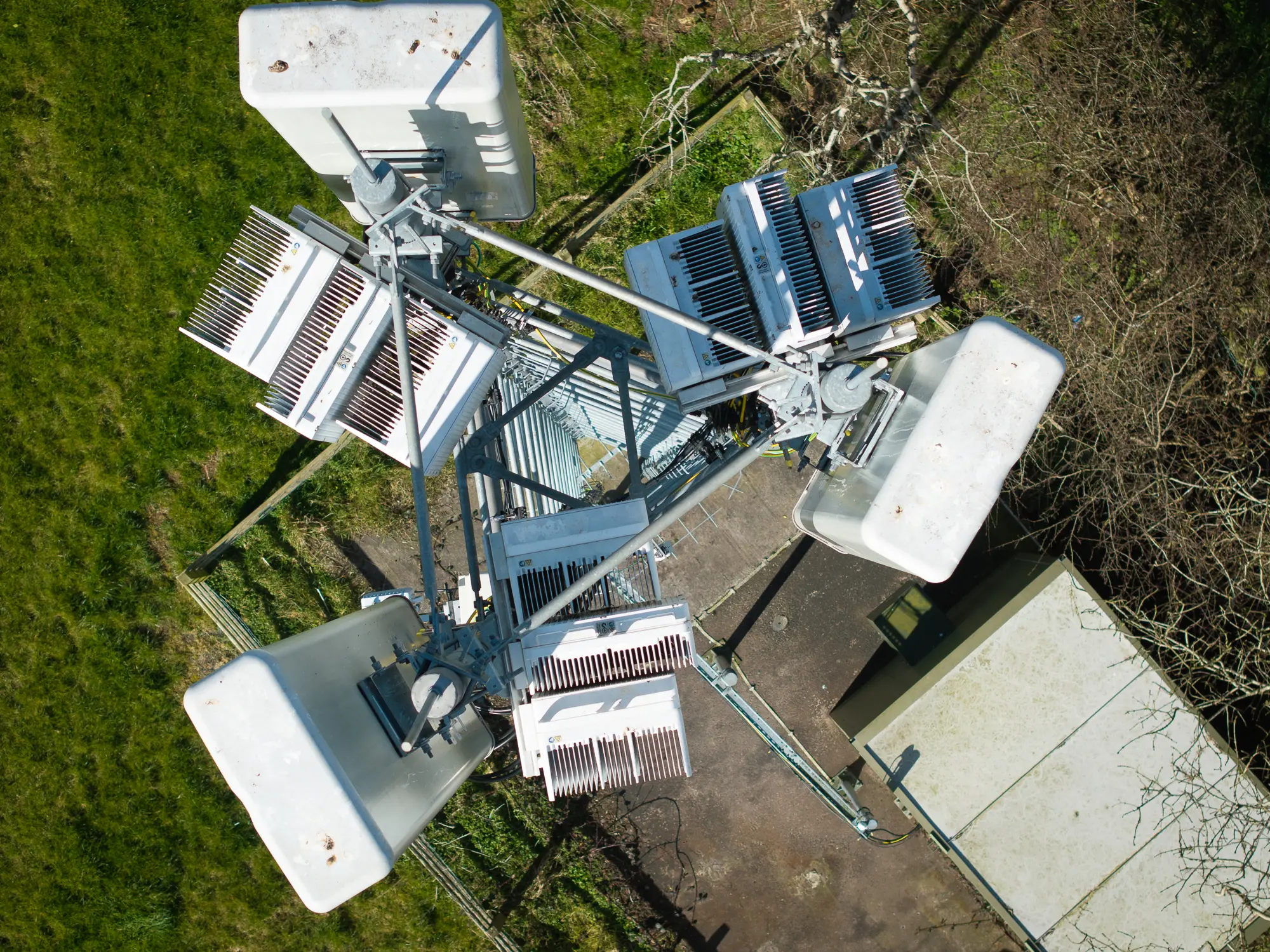
Energy providers inspecting solar panels, turbines and pipelines
Planning consultants preparing visual documents for authorities or clients
Whether it’s a single rooftop or a 50-acre site, our drone surveys are designed to deliver the data you need with minimal fuss.
Benefits of Drone Surveying
Faster Turnaround
Our drones can cover large areas quickly, reducing the time needed for traditional surveys or inspections.
Safer Access
We eliminate the need for working at height or entering hazardous areas. This means fewer risks and lower insurance costs.
High Accuracy
We deliver sharp, consistent images with measurable visual data — useful for layout checks, design verification and asset records.
Cost-Effective
No scaffolding, lifts or specialist access teams required. Just fast, efficient flights and professional editing.
Easy to Integrate
Our aerial images can be geo-referenced and overlaid with site plans, making them easy to use in your existing workflows.
What We Deliver
Our typical aerial surveying packages include:
High-resolution drone images
Carefully composed and edited visuals
Optional geo-referenced files
Wide angle, close-up and site-specific perspectives
Flexible formats (JPEG, TIFF, PDF, CAD overlays on request)
We’ll discuss your project with you beforehand to ensure we’re capturing exactly what you need — whether that’s a full top-down view of a site or a targeted visual inspection of specific features.
Why Work With VIEW?
We’re more than drone pilots. We’re visual professionals with experience in real estate, architecture and commercial property photography. This means we understand what’s useful, what’s clear and what works in real-world reporting and planning.
At VIEW we bring:
Certified drone operations and full insurance
Experience working across Northern Ireland
Fast response times and flexible scheduling
A commitment to safety and compliance
Strong visual standards for every image
Our drone flights follow UK Civil Aviation Authority guidelines and local permissions, and every job is planned with safety and legal compliance in mind.
Working Across Northern Ireland
If you’re unsure whether your site is suitable for drone surveying, we’ll carry out a free initial desktop review to check.
Tailored Packages. Straightforward Pricing.
Every site is different, which is why we offer flexible packages based on your needs. Whether you need one quick image set or a full day of aerial documentation, we’ll build a package that works for your goals and budget.
For more complex surveys, we also offer:
Repeat visits to show progress over time
Combined drone and ground-level photography
Post-processing support, including visual overlays and graphics
Perfect for:
Feasibility studies
Investor updates
Planning proposals
Condition reports
Marketing visuals
Asset registers
Get the Insight You Need
Aerial surveying is a powerful tool for anyone working in property, construction or asset management. It’s safe, fast and highly effective — and with VIEW, it’s also creative, practical and easy to use.
Whether you need to inspect, plan or promote, our aerial visuals bring clarity and confidence to your work.